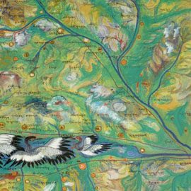
 Working with a hand-drawn cultural map from the Longbao region of the Tibetan Plateau, the map was georeferenced to real-world locations, and features from the map were converted to vector format for use in geographic information system software.
Longbao Cultural Map Referencing and Vectorization
