ArcGIS Excel Plugin
Mapping / Geospatial / Geographic Data Display
Mapping geographic coordinates on a world map can now be done right in Excel with our licensed add-in ArcGIS for Excel.
Start by launching Microsoft Excel through a browser. There are several ways to do this, one is to log in to https://bwa.dartmouth.edu and then click the upper-left grid and click Excel. Another is to navigate to https://www.microsoft365.com/launch/excel?auth=2
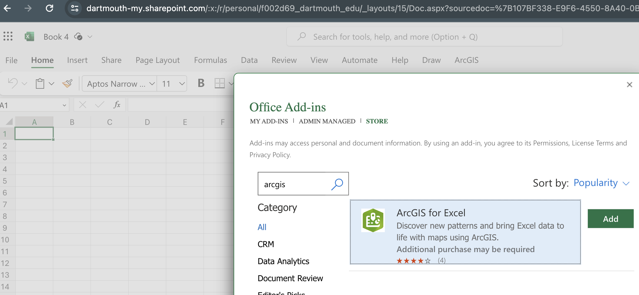
Once in the browser-based Excel, open a blank workbook. Click File > Get Add-ins > More Add-ins and navigate to ArcGIS for Excel.
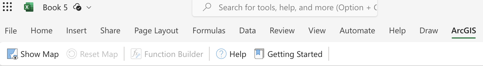
“ArcGIS” will show up to the far right of the menus
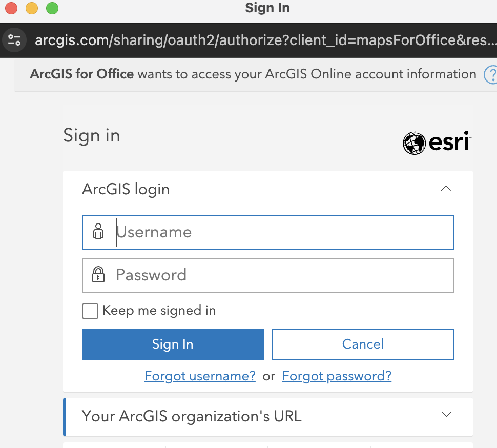
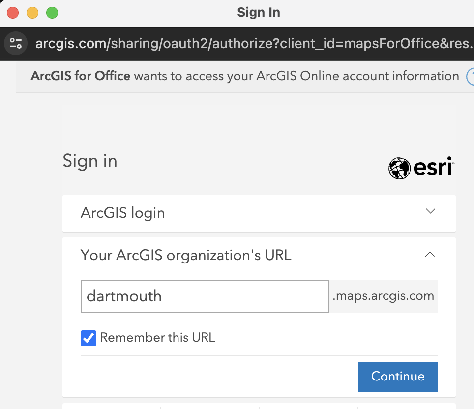

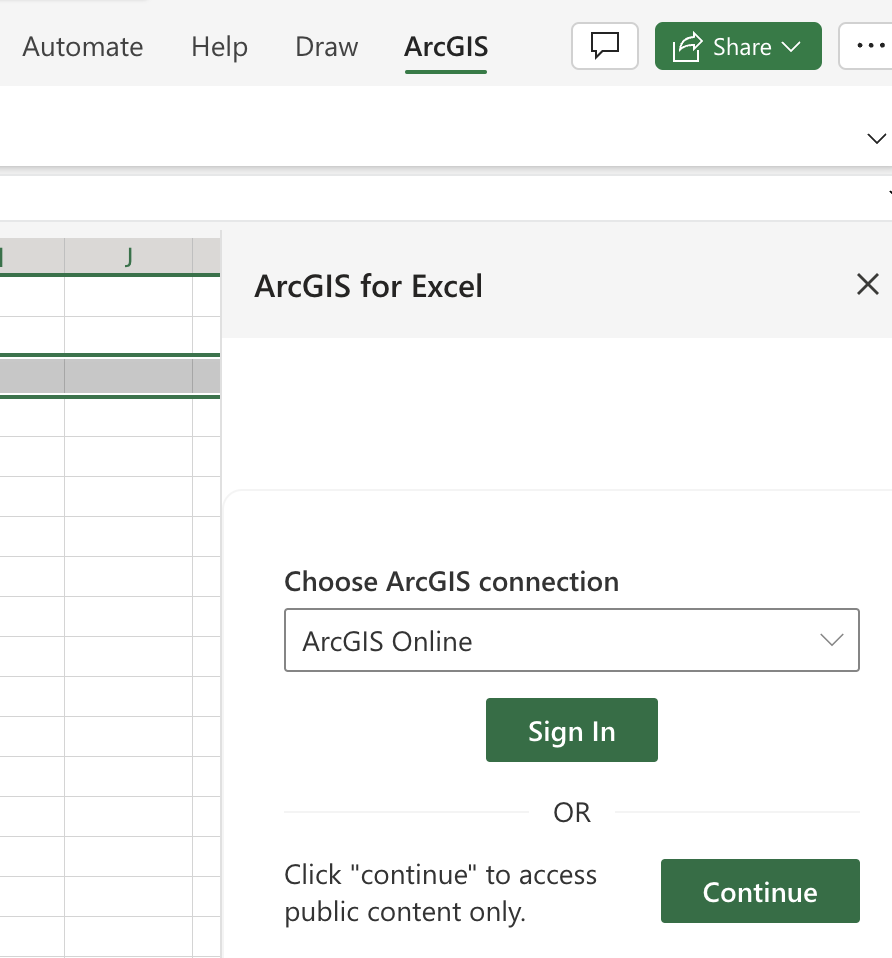
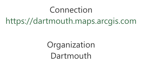
When opening for the first time, Excel and the ArcGIS Add-in may ask for you to sign in to our ArcGIS portal, https://dartmouth.maps.arcgis.com.
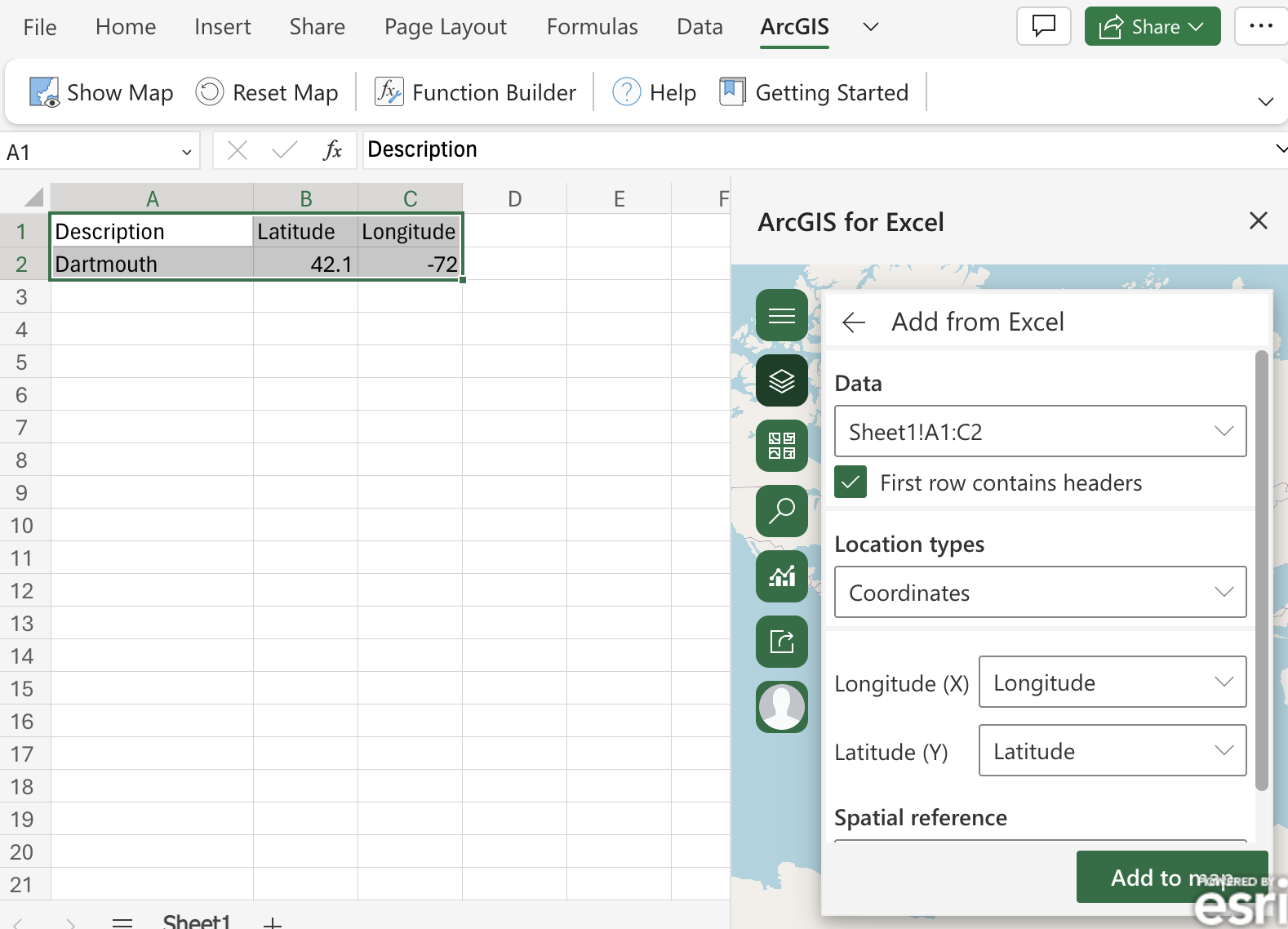
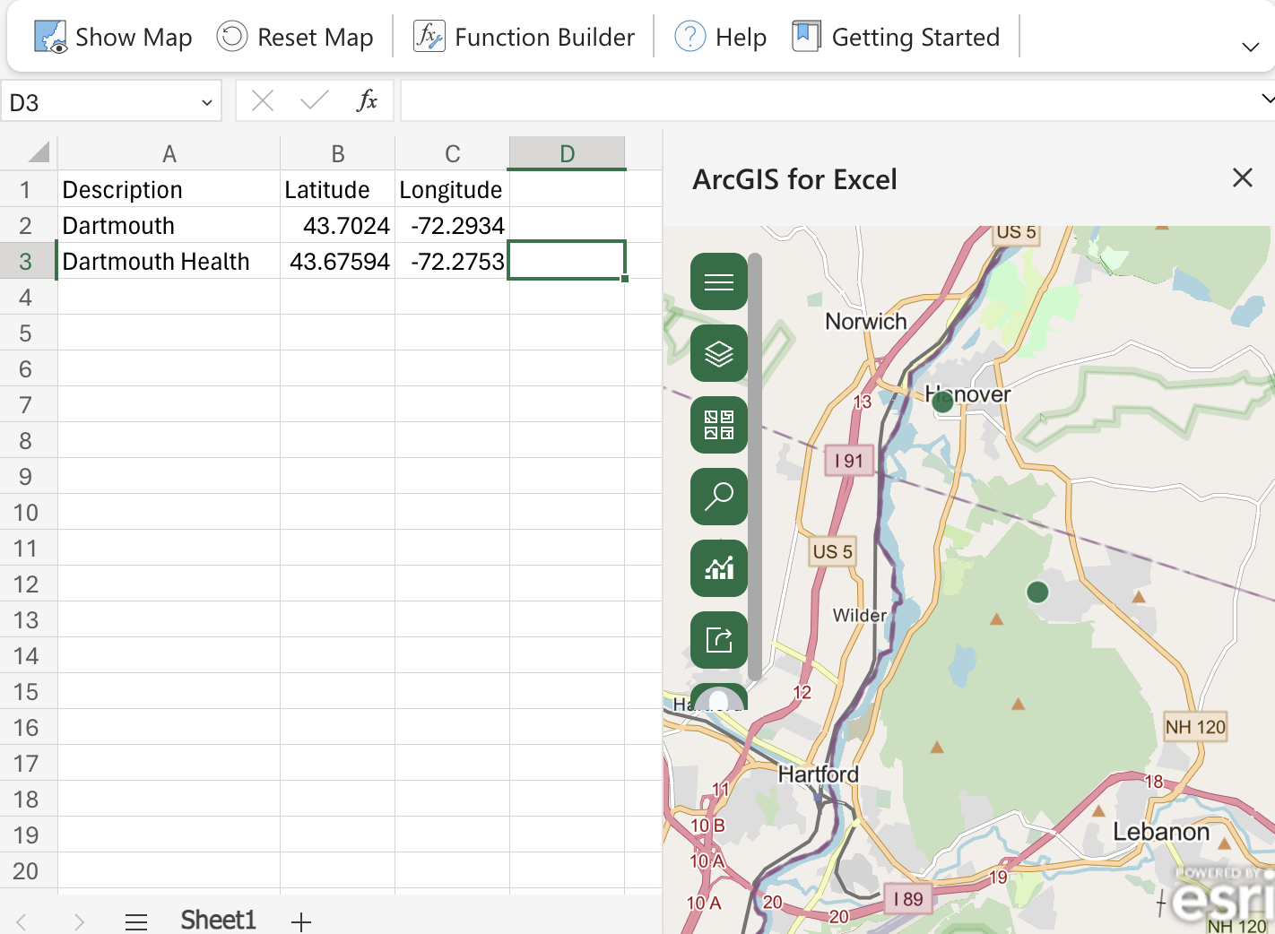
Excel’s ArcGIS Addin can display coordinates in a map in a side panel: